|
Here are some maps that may help you in your quest for Lake Sakakawea salmon.
First, use Mapquest to find your way to Riverdale, North Dakota. Click here.
Topozones can provide access to useful maps. Click here.
Another source of quad maps. Click here.
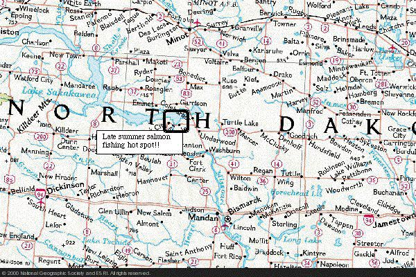
A map showing the most popular area to catch salmon in North Dakota.

Underwater contours in Lake Sakakawea at the Garison Dam between Pick City and Riverdale. Several key areas are illustrated
that produce salmon during July, August and September.
|